
Radford City topographic map
Interactive map
Click on the map to display elevation.
About this map
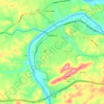
Name: Radford City topographic map, elevation, terrain.
Location: Radford, Radford City, Virginia, United States of America (37.08960 -80.59639 37.15106 -80.50698)
Average elevation: 584 m
Minimum elevation: 515 m
Maximum elevation: 701 m