
Bratton topographic map
Interactive map
Click on the map to display elevation.
About this map
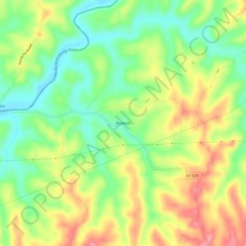
Name: Bratton topographic map, elevation, terrain.
Location: Bratton, Robertson County, Kentucky, United States (38.54841 -84.11521 38.58841 -84.07521)
Average elevation: 232 m
Minimum elevation: 187 m
Maximum elevation: 284 m