
Bleskensgraaf topographic map
Interactive map
Click on the map to display elevation.
About this map
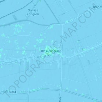
Name: Bleskensgraaf topographic map, elevation, terrain.
Location: Bleskensgraaf, Südholland, Niederlande, 2971, Niederlande (51.85211 4.76276 51.89211 4.80276)
Average elevation: -1 m
Minimum elevation: -4 m
Maximum elevation: 3 m