
Saunaka Village topographic map
Interactive map
Click on the map to display elevation.
About this map
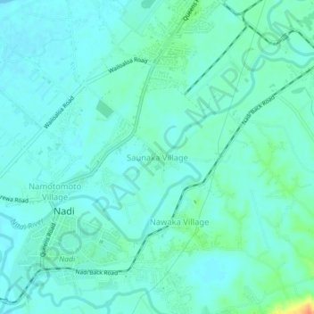
Name: Saunaka Village topographic map, elevation, terrain.
Location: Saunaka Village, Ba, Western, Fiji (-17.81246 177.41035 -17.77246 177.45035)
Average elevation: 9 m
Minimum elevation: 0 m
Maximum elevation: 45 m
Other topographic maps
Click on a map to view its topography, its elevation and its terrain.