
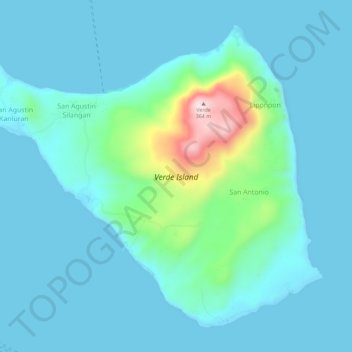
Verde Island topographic map
Interactive map
Click on the map to display elevation.
About this map
Name: Verde Island topographic map, elevation, terrain.
Average elevation: 52 m
Minimum elevation: 0 m
Maximum elevation: 378 m
Other topographic maps
Click on a map to view its topography, its elevation and its terrain.
Batangas City
Philippines > Batangas > Batangas City
Batangas City, Batangas, Calabarzon, 4200, Philippines
Average elevation: 108 m