
Havelterberg topographic map
Interactive map
Click on the map to display elevation.
About this map
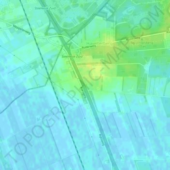
Name: Havelterberg topographic map, elevation, terrain.
Location: Havelterberg, Westerveld, Drenthe, Netherlands, The Netherlands (52.75473 6.17291 52.77964 6.18829)
Average elevation: 4 m
Minimum elevation: -2 m
Maximum elevation: 16 m