
Yongzhou City topographic map
Interactive map
Click on the map to display elevation.
About this map
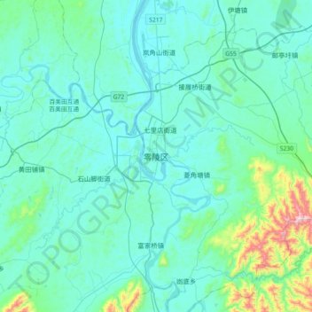
Name: Yongzhou City topographic map, elevation, terrain.
Location: Lingling, Lingling District, Yongzhou City, Hunan, PRC (26.06548 111.46447 26.38548 111.78447)
Average elevation: 175 m
Minimum elevation: 90 m
Maximum elevation: 792 m
Other topographic maps
Click on a map to view its topography, its elevation and its terrain.
Daxu
PRC > Yongzhou City > Daxu
Daxu, Jianghua Yao Autonomous County, Yongzhou City, Hunan, PRC
Average elevation: 506 m