
Kasteel van Wijnendale topographic map
Interactive map
Click on the map to display elevation.
About this map
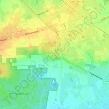
Name: Kasteel van Wijnendale topographic map, elevation, terrain.
Average elevation: 33 m
Minimum elevation: 16 m
Maximum elevation: 48 m
Other topographic maps
Click on a map to view its topography, its elevation and its terrain.
Sint-Henricus
België > Vlaanderen > Torhout > Sint-Henricus
Sint-Henricus, Torhout, West-Vlaanderen, Vlaanderen, 8830, België
Average elevation: 18 m