
曽谷7 topographic map
Interactive map
Click on the map to display elevation.
About this map
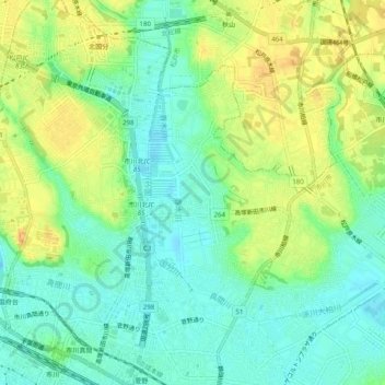
Name: 曽谷7 topographic map, elevation, terrain.
Location: 曽谷7, Ichikawa, Chiba Prefecture, Kanto, 272-0805, Japan (35.72672 139.90614 35.76672 139.94614)
Average elevation: 15 m
Minimum elevation: 0 m
Maximum elevation: 33 m