
Murfeld topographic map
Interactive map
Click on the map to display elevation.
About this map
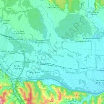
Name: Murfeld topographic map, elevation, terrain.
Location: Murfeld, Südoststeiermark, Styria, Austria (46.69581 15.64999 46.75627 15.75903)
Average elevation: 264 m
Minimum elevation: 236 m
Maximum elevation: 397 m