
Tosor topographic map
Interactive map
Click on the map to display elevation.
About this map
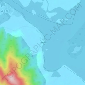
Name: Tosor topographic map, elevation, terrain.
Location: Tosor, Commonwealth-C, Grand Cape Mount County, Liberia (6.72111 -11.35782 6.76111 -11.31782)
Average elevation: 32 m
Minimum elevation: -3 m
Maximum elevation: 300 m