
Newbold Astbury topographic map
Interactive map
Click on the map to display elevation.
About this map
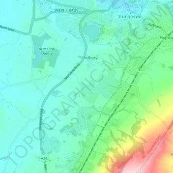
Name: Newbold Astbury topographic map, elevation, terrain.
Average elevation: 123 m
Minimum elevation: 76 m
Maximum elevation: 303 m
Other topographic maps
Click on a map to view its topography, its elevation and its terrain.
Congleton
United Kingdom > England > Congleton
Congleton, Cheshire East, North West England, England, CW12 1BW, United Kingdom
Average elevation: 126 m
Westlow Mere
United Kingdom > England > Congleton
Westlow Mere, Giantswood Lane, Hulme Walfield, Congleton, Cheshire East, North West England, England, CW12 2HH, United Kingdom
Average elevation: 99 m