
Krka topographic map
Interactive map
Click on the map to display elevation.
About this map
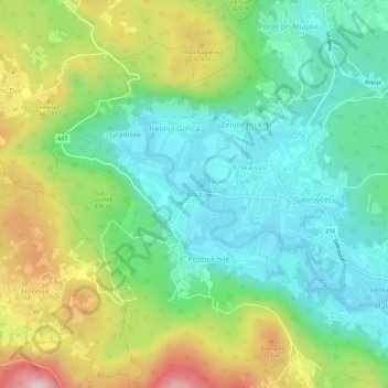
Name: Krka topographic map, elevation, terrain.
Location: Krka, Osrednjeslovenska, 1301, Slovenia (45.86227 14.75939 45.90227 14.79939)
Average elevation: 379 m
Minimum elevation: 257 m
Maximum elevation: 618 m