
Horsmonden topographic map
Interactive map
Click on the map to display elevation.
About this map
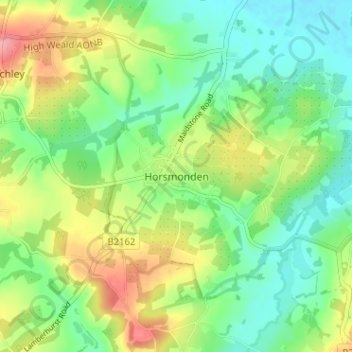
Name: Horsmonden topographic map, elevation, terrain.
Location: Horsmonden, Kent, South East, England, TN12 8LJ, United Kingdom (51.11915 0.41184 51.15915 0.45184)
Average elevation: 56 m
Minimum elevation: 20 m
Maximum elevation: 117 m