
Isare topographic map
Interactive map
Click on the map to display elevation.
About this map
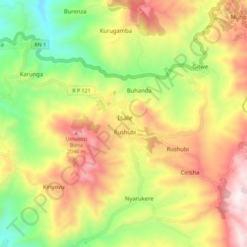
Name: Isare topographic map, elevation, terrain.
Location: Isare, Bujumbura Rural, Burundi (-3.38607 29.44352 -3.30607 29.52352)
Average elevation: 1,613 m
Minimum elevation: 1,099 m
Maximum elevation: 2,173 m