
Muramvya topographic map
Interactive map
Click on the map to display elevation.
About this map
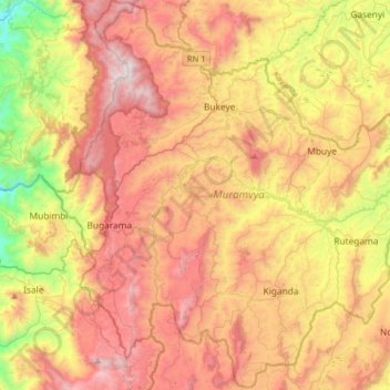
Name: Muramvya topographic map, elevation, terrain.
Location: Muramvya, Burundi (-3.42632 29.45673 -3.10632 29.77673)
Average elevation: 1,860 m
Minimum elevation: 1,018 m
Maximum elevation: 2,641 m