
St. Saviour topographic map
Interactive map
Click on the map to display elevation.
About this map
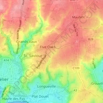
Name: St. Saviour topographic map, elevation, terrain.
Location: St. Saviour, JE2 7GR, Jersey (49.17646 -2.09913 49.21646 -2.05913)
Average elevation: 56 m
Minimum elevation: 0 m
Maximum elevation: 99 m