
Lily topographic map
Interactive map
Click on the map to display elevation.
About this map
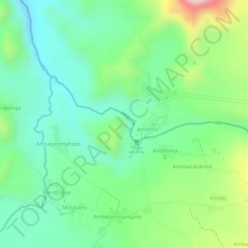
Name: Lily topographic map, elevation, terrain.
Location: Lily, Ampefy, Itasy, Province d’Antananarivo, Madagascar (-19.03142 46.68092 -19.02784 46.68457)
Average elevation: 1,179 m
Minimum elevation: 1,079 m
Maximum elevation: 1,374 m