
Luang Namtha topographic map
Interactive map
Click on the map to display elevation.
About this map
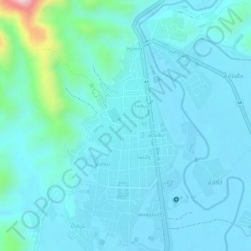
Name: Luang Namtha topographic map, elevation, terrain.
Location: Luang Namtha, Namtha District, Luang Namtha, Laos (20.99195 101.39914 21.01922 101.41613)
Average elevation: 592 m
Minimum elevation: 555 m
Maximum elevation: 824 m