
Huson topographic map
Interactive map
Click on the map to display elevation.
About this map
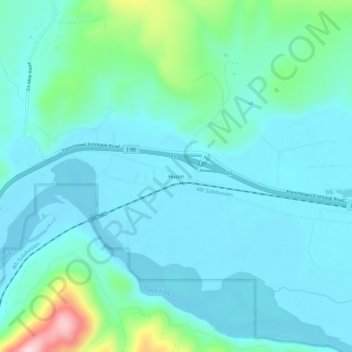
Name: Huson topographic map, elevation, terrain.
Location: Huson, Missoula County, Montana, United States (47.01131 -114.34734 47.05131 -114.30734)
Average elevation: 958 m
Minimum elevation: 909 m
Maximum elevation: 1,204 m