
Brody topographic map
Interactive map
Click on the map to display elevation.
About this map
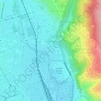
Name: Brody topographic map, elevation, terrain.
Average elevation: 237 m
Minimum elevation: 204 m
Maximum elevation: 348 m
Other topographic maps
Click on a map to view its topography, its elevation and its terrain.
Stredné Mesto
Slovakia > Region of Košice > District of Košice I
Stredné Mesto, Košice - mestská časť Staré Mesto, District of Košice I, Košice, Region of Košice, Eastern Slovakia, Slovakia
Average elevation: 217 m