
八丈島 topographic map
Interactive map
Click on the map to display elevation.
About this map
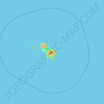
Name: 八丈島 topographic map, elevation, terrain.
Location: 八丈島, 八丈町, Hachijō, Tokio, Kantō, Japan (32.77984 139.50696 33.41984 140.14696)
Average elevation: 3 m
Minimum elevation: 0 m
Maximum elevation: 835 m
Other topographic maps
Click on a map to view its topography, its elevation and its terrain.