
Pentre Saron topographic map
Interactive map
Click on the map to display elevation.
About this map
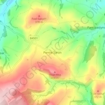
Name: Pentre Saron topographic map, elevation, terrain.
Location: Pentre Saron, Denbighshire, Wales, LL16 4TL, United Kingdom (53.11449 -3.47447 53.15449 -3.43447)
Average elevation: 281 m
Minimum elevation: 140 m
Maximum elevation: 443 m