
Salyantar topographic map
Interactive map
Click on the map to display elevation.
About this map
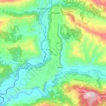
Name: Salyantar topographic map, elevation, terrain.
Location: Salyantar, Tripura Sundari, धादिङ, वाग्मती प्रदेश, Népal (27.96787 84.77022 28.05304 84.83111)
Average elevation: 704 m
Minimum elevation: 404 m
Maximum elevation: 1,405 m