
Baugnies topographic map
Interactive map
Click on the map to display elevation.
About this map
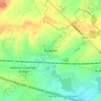
Name: Baugnies topographic map, elevation, terrain.
Location: Baugnies, Doornik, Henegouwen, Wallonië, 7604, België (50.54081 3.53277 50.58081 3.57277)
Average elevation: 54 m
Minimum elevation: 33 m
Maximum elevation: 82 m