
Sonning topographic map
Interactive map
Click on the map to display elevation.
About this map
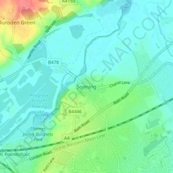
Name: Sonning topographic map, elevation, terrain.
Average elevation: 46 m
Minimum elevation: 30 m
Maximum elevation: 99 m
Other topographic maps
Click on a map to view its topography, its elevation and its terrain.
Sonning Eye
United Kingdom > England > Sonning
Sonning Eye, Sonning, Wokingham, South East, England, RG4 6TY, United Kingdom
Average elevation: 44 m