
Cobden topographic map
Interactive map
Click on the map to display elevation.
About this map
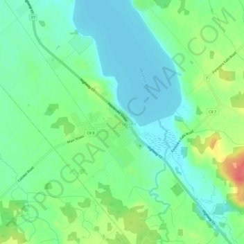
Name: Cobden topographic map, elevation, terrain.
Location: Cobden, Renfrew County, Ontario, K0J 1K0, Canada (45.60792 -76.90026 45.64792 -76.86026)
Average elevation: 143 m
Minimum elevation: 123 m
Maximum elevation: 185 m