
Glacière de St-Livres topographic map
Interactive map
Click on the map to display elevation.
About this map
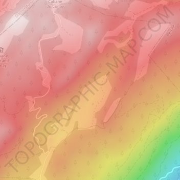
Name: Glacière de St-Livres topographic map, elevation, terrain.
Average elevation: 1,402 m
Minimum elevation: 882 m
Maximum elevation: 1,598 m