
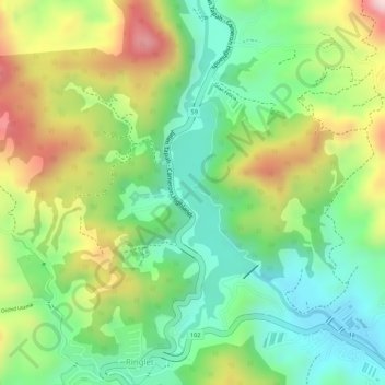
Ringlet Lake topographic map
Interactive map
Click on the map to display elevation.
About this map
Name: Ringlet Lake topographic map, elevation, terrain.
Average elevation: 1,153 m
Minimum elevation: 1,019 m
Maximum elevation: 1,340 m
Other topographic maps
Click on a map to view its topography, its elevation and its terrain.
Gunung Jasar
Malaysia > Pahang > Cameron Highlands
Gunung Jasar, Cameron Highlands, Pahang, 39000, Malaysia
Average elevation: 1,388 m