
Arredondo topographic map
Interactive map
Click on the map to display elevation.
About this map
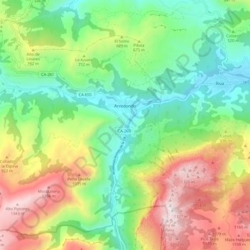
Name: Arredondo topographic map, elevation, terrain.
Location: Arredondo, Asón-Agüera, Cantabria, Spain (43.23337 -3.68876 43.30327 -3.57990)
Average elevation: 603 m
Minimum elevation: 121 m
Maximum elevation: 1,394 m