
Halsteren topographic map
Interactive map
Click on the map to display elevation.
About this map
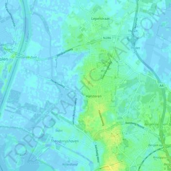
Name: Halsteren topographic map, elevation, terrain.
Location: Halsteren, Bergen op Zoom, North Brabant, Netherlands (51.50948 4.21993 51.54367 4.31177)
Average elevation: 3 m
Minimum elevation: -5 m
Maximum elevation: 15 m