
Ban Wang Phai topographic map
Interactive map
Click on the map to display elevation.
About this map
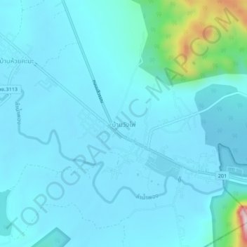
Name: Ban Wang Phai topographic map, elevation, terrain.
Location: Ban Wang Phai, Loei Province, Thailand (16.83602 101.90773 16.87602 101.94773)
Average elevation: 285 m
Minimum elevation: 232 m
Maximum elevation: 746 m