
Stol topographic map
Interactive map
Click on the map to display elevation.
About this map
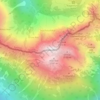
Name: Stol topographic map, elevation, terrain.
Location: Stol, Žirovnica, 4274, Slovénie (46.43392 14.17393 46.43402 14.17403)
Average elevation: 1,688 m
Minimum elevation: 1,086 m
Maximum elevation: 2,219 m