
b35 topographic map
Interactive map
Click on the map to display elevation.
About this map
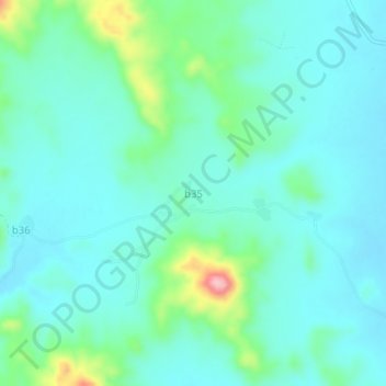
Name: b35 topographic map, elevation, terrain.
Location: b35, Sanmatenga, Central-North, Burkina Faso (12.96532 -1.17751 13.00532 -1.13751)
Average elevation: 350 m
Minimum elevation: 317 m
Maximum elevation: 482 m