
Chappel topographic map
Interactive map
Click on the map to display elevation.
About this map
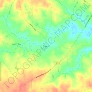
Name: Chappel topographic map, elevation, terrain.
Location: Chappel, Lamar County, Georgia, United States (33.15790 -84.11742 33.19790 -84.07742)
Average elevation: 210 m
Minimum elevation: 183 m
Maximum elevation: 235 m