
Ghiacciaio des Grandes Murailles topographic map
Interactive map
Click on the map to display elevation.
About this map
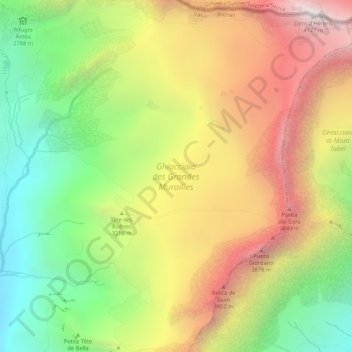
Name: Ghiacciaio des Grandes Murailles topographic map, elevation, terrain.
Average elevation: 3,132 m
Minimum elevation: 2,215 m
Maximum elevation: 4,158 m