
Trojes topographic map
Interactive map
Click on the map to display elevation.
About this map
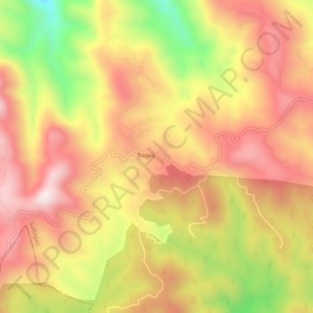
Name: Trojes topographic map, elevation, terrain.
Location: Trojes, Sultepec, Mexico (18.68483 -100.09196 18.72483 -100.05196)
Average elevation: 2,161 m
Minimum elevation: 1,795 m
Maximum elevation: 2,407 m