
Drummond Castle topographic map
Interactive map
Click on the map to display elevation.
About this map
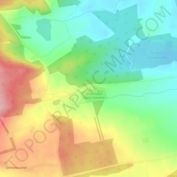
Name: Drummond Castle topographic map, elevation, terrain.
Average elevation: 106 m
Minimum elevation: 37 m
Maximum elevation: 205 m
Other topographic maps
Click on a map to view its topography, its elevation and its terrain.
Hosh
United Kingdom > Scotland > Crieff > Monzievaird
Hosh, Bridge of Hosh, Monzievaird, Crieff, Perth and Kinross, Scotland, PH7 4HA, United Kingdom
Average elevation: 133 m