
Hextable topographic map
Interactive map
Click on the map to display elevation.
About this map
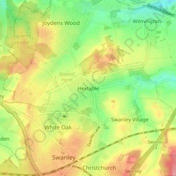
Name: Hextable topographic map, elevation, terrain.
Location: Hextable, Kent, South East, England, BR8 7PP, United Kingdom (51.39200 0.16036 51.43200 0.20036)
Average elevation: 58 m
Minimum elevation: 14 m
Maximum elevation: 105 m