
Echzell topographic map
Interactive map
Click on the map to display elevation.
About this map
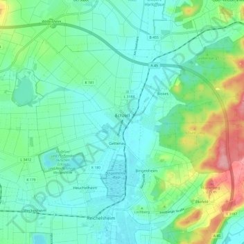
Name: Echzell topographic map, elevation, terrain.
Location: Echzell, Wetteraukreis, Hesse, 61209, Germany (50.35611 8.83875 50.41959 8.95770)
Average elevation: 147 m
Minimum elevation: 118 m
Maximum elevation: 236 m