
Ahangardeh topographic map
Interactive map
Click on the map to display elevation.
About this map
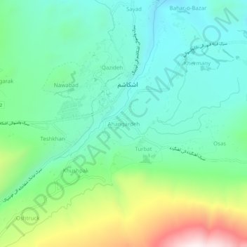
Name: Ahangardeh topographic map, elevation, terrain.
Location: Ahangardeh, Ishkashim, Badakhshan, Afghanistan (36.68259 71.55596 36.72259 71.59596)
Average elevation: 2,764 m
Minimum elevation: 2,544 m
Maximum elevation: 3,327 m