
Star topographic map
Interactive map
Click on the map to display elevation.
About this map
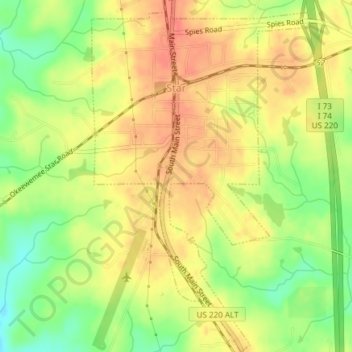
Name: Star topographic map, elevation, terrain.
Location: Star, Montgomery County, North Carolina, USA (35.37911 -79.79321 35.40966 -79.76996)
Average elevation: 181 m
Minimum elevation: 151 m
Maximum elevation: 201 m