
Erkegem topographic map
Interactive map
Click on the map to display elevation.
About this map
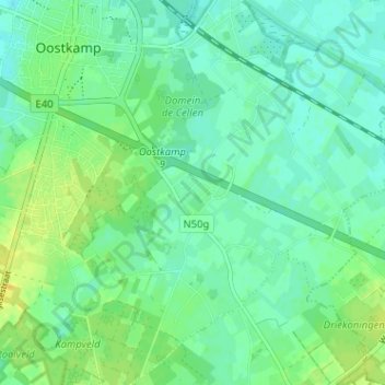
Name: Erkegem topographic map, elevation, terrain.
Average elevation: 10 m
Minimum elevation: 2 m
Maximum elevation: 22 m
Other topographic maps
Click on a map to view its topography, its elevation and its terrain.
Moerbrugge
België > West-Vlaanderen > Brugge > Oostkamp
Moerbrugge, Oostkamp, Brugge, West-Vlaanderen, Vlaanderen, 8020, België
Average elevation: 6 m