
Eksel topographic map
Interactive map
Click on the map to display elevation.
About this map
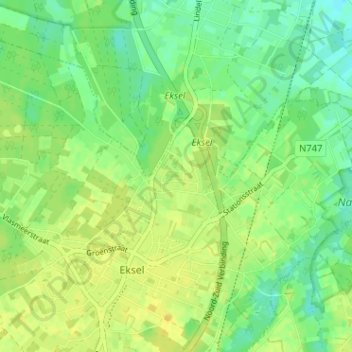
Name: Eksel topographic map, elevation, terrain.
Location: Eksel, Kloosterbos, Maaseik, Limburg, Vlaanderen, 3941, België (51.14446 5.38034 51.18446 5.42034)
Average elevation: 57 m
Minimum elevation: 46 m
Maximum elevation: 65 m