
St. Abbs topographic map
Interactive map
Click on the map to display elevation.
About this map
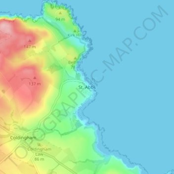
Name: St. Abbs topographic map, elevation, terrain.
Location: St. Abbs, Scottish Borders, Scotland, TD14 5PW, United Kingdom (55.87840 -2.15079 55.91840 -2.11079)
Average elevation: 36 m
Minimum elevation: 0 m
Maximum elevation: 158 m