
Farka topographic map
Interactive map
Click on the map to display elevation.
About this map
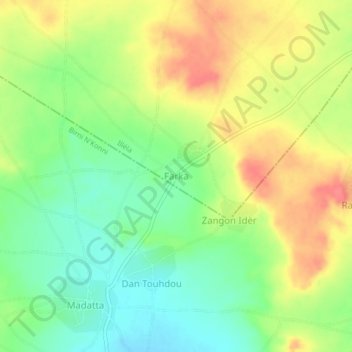
Name: Farka topographic map, elevation, terrain.
Location: Farka, Illéla, Tahoua, Niger (14.00480 5.23000 14.04480 5.27000)
Average elevation: 296 m
Minimum elevation: 266 m
Maximum elevation: 329 m