
Malungon topographic map
Interactive map
Click on the map to display elevation.
About this map
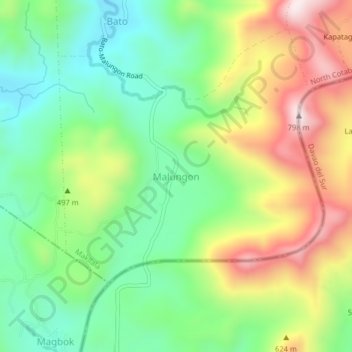
Name: Malungon topographic map, elevation, terrain.
Location: Malungon, Cotabato, Soccsksargen, Philippines (6.83165 125.06742 6.87165 125.10742)
Average elevation: 420 m
Minimum elevation: 199 m
Maximum elevation: 761 m