
Stara Gora topographic map
Interactive map
Click on the map to display elevation.
About this map
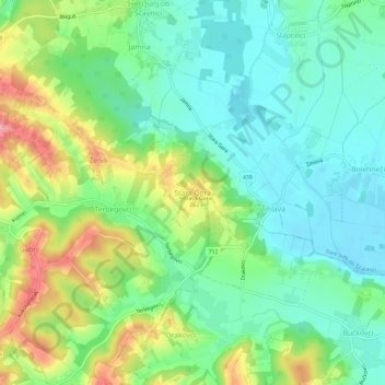
Name: Stara Gora topographic map, elevation, terrain.
Location: Stara Gora, Mura Statistical Region, 9244, Slovenia (46.52922 16.01086 46.56922 16.05086)
Average elevation: 223 m
Minimum elevation: 186 m
Maximum elevation: 296 m