
Sutton topographic map
Interactive map
Click on the map to display elevation.
About this map
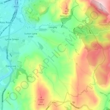
Name: Sutton topographic map, elevation, terrain.
Average elevation: 267 m
Minimum elevation: 138 m
Maximum elevation: 477 m
Other topographic maps
Click on a map to view its topography, its elevation and its terrain.
Langley
United Kingdom > England > Langley
Langley, Hampshire, South East, England, SO45 1SB, United Kingdom
Average elevation: 18 m