
Stockbury topographic map
Interactive map
Click on the map to display elevation.
About this map
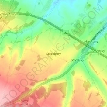
Name: Stockbury topographic map, elevation, terrain.
Location: Stockbury, Kent, South East, England, ME9 7UD, United Kingdom (51.30720 0.62144 51.34720 0.66144)
Average elevation: 96 m
Minimum elevation: 35 m
Maximum elevation: 165 m